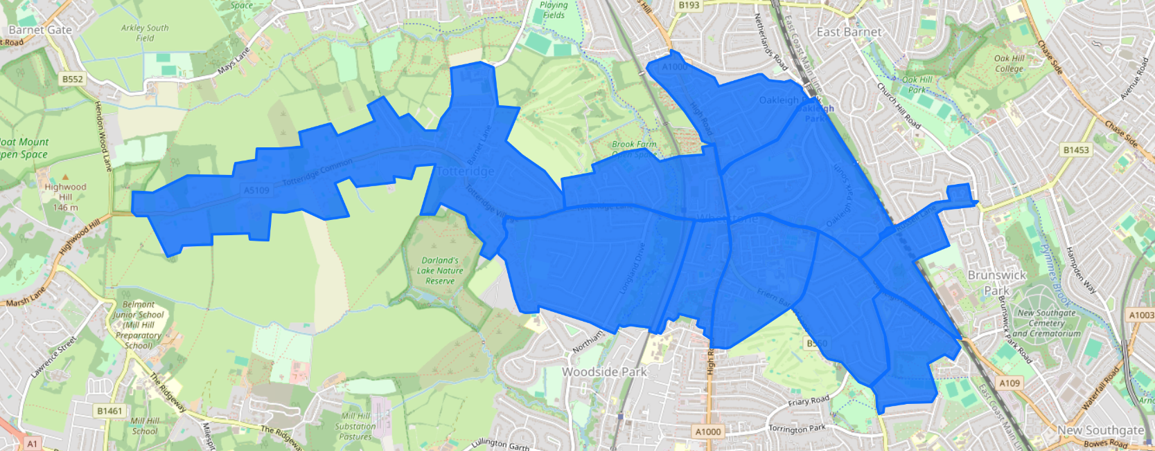
DISTRIBUTION MAPS
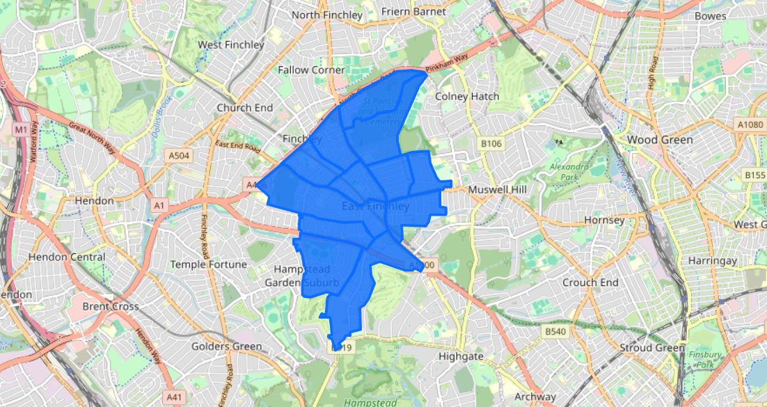
N2 (East Finchley) = 10,673 Households
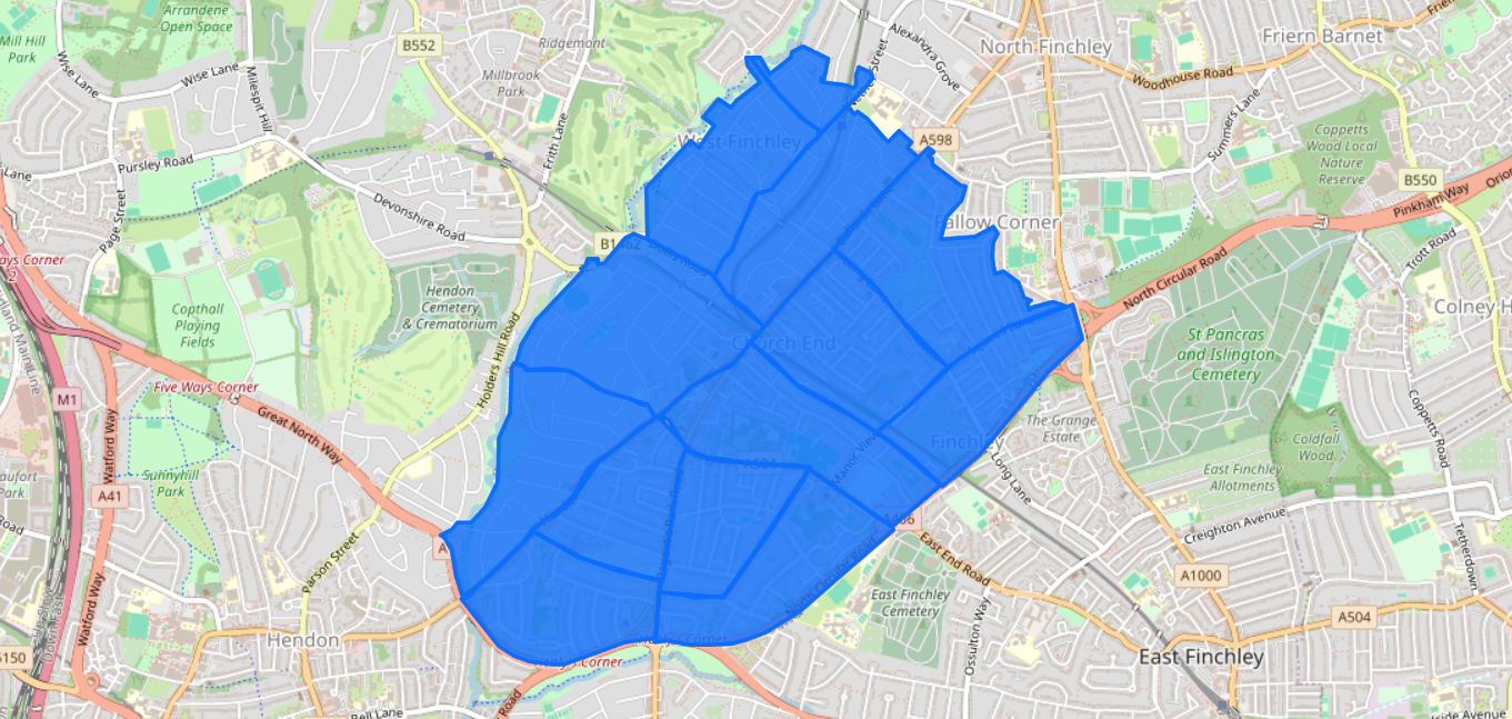
N3 (Finchley Central) = 12,090 households
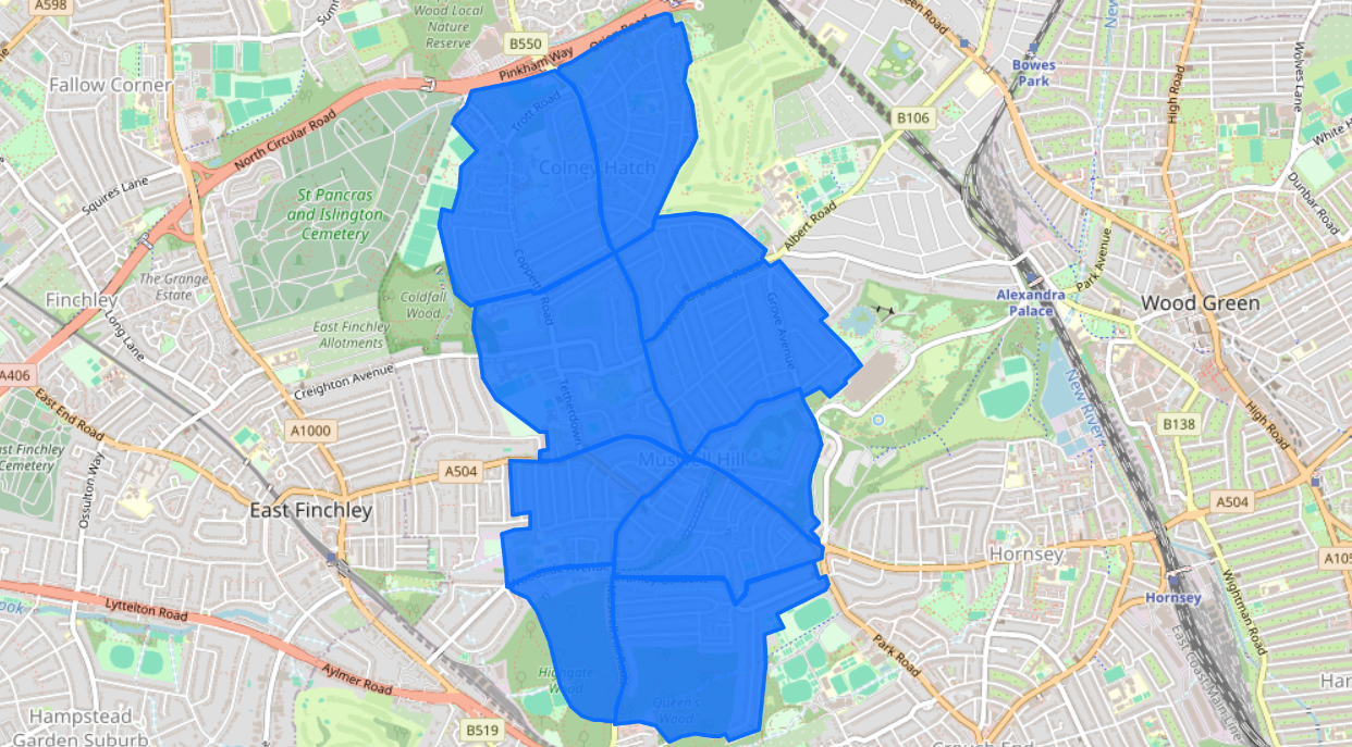
N10 (Muswell Hill) = 12,514 households
N11 (New Southgate, Friern Barnet & Bounds Green) = 13,912 households
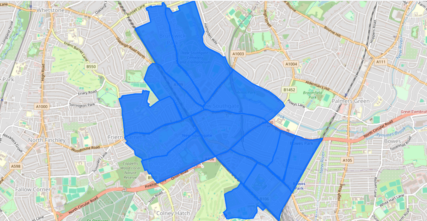
N12 (North Finchley) = 13,446 households
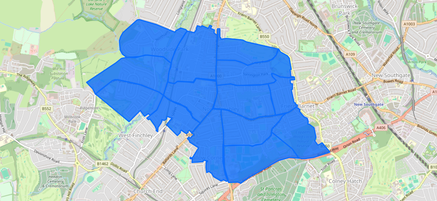
N20 (Totteridge & Whetstone) = 8,977 households